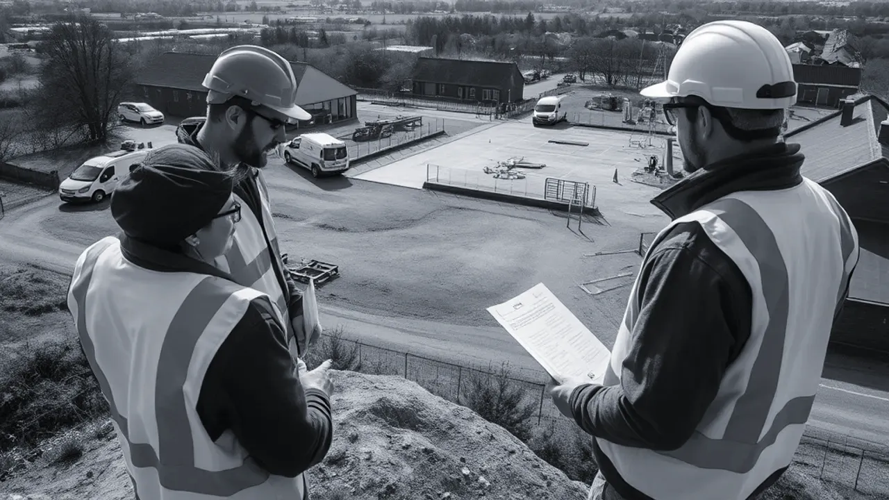
A topographical survey is a measured drawing of a piece of land that records its physical features and exact heights. It maps what is on the ground — boundaries, buildings, trees, roads, manholes — and how the surface rises and falls, expressed as levels and contour lines. Architects, engineers and planners rely on it to design accurately against real conditions rather than assumptions.
What a topographical survey records
The survey captures the position and height of everything relevant to a site. This includes natural features such as ground slopes, trees and watercourses, and built features such as walls, fences, kerbs, road edges and the corners of buildings. Each feature is plotted to scale and tied to a height value.
Boundary features are recorded as they appear on the ground — the line of a fence, hedge or wall — rather than as a legal boundary. A surveyor maps the physical evidence; the legal extent of ownership is a separate matter set out in title deeds and Land Registry plans. The two often differ, so a survey is a record of position, not a determination of ownership.
Below-ground evidence is noted where it is visible. Manhole covers, gullies, inspection chambers and rodding points are surveyed, and surveyors commonly lift covers to record invert levels (the height of the base of a pipe) and the direction of flow. This builds an initial picture of the drainage layout serving the site.
When you need one for a project
A topographical survey is a measured drawing of a piece of land that records its physical features and exact heights.
A topographical survey is usually the first technical step once a site is being considered for development. It is needed wherever a design must respond to the actual shape of the land — which is to say almost any building, extension or landscaping scheme.
Common triggers include:
- Preparing a planning application, where the local authority expects accurate existing-site drawings.
- Designing a new build, extension or change of use that must fit existing levels and access.
- Drainage and groundworks design, which depends on knowing fall across the site.
- Landscaping, road or car park layouts where gradients matter.
- Assessing flood risk or surface water flow, which follows the land's contours.
For sloping or awkward sites the survey is especially valuable, because small differences in level affect foundation depths, retaining structures and the volume of soil to be moved. Catching these early avoids redesign later.

Contours, levels and features explained
Site levels are individual height values measured at specific points across the ground. Each is recorded against a vertical datum — a fixed reference height. Many surveys use Ordnance Datum, the national height system measured from mean sea level, so that levels relate to a consistent national framework. Where this is not practical, a surveyor may use a local site datum and state it clearly on the drawing.
Contour lines join points of equal height, in the same way they do on an Ordnance Survey map. They give an immediate sense of the terrain: lines close together indicate a steep slope, while widely spaced lines show flatter ground. The vertical gap between successive contours, known as the contour interval, is chosen to suit the site — often 250mm or 500mm on a development plot.
Features are the physical objects plotted on the plan. These range from hard features such as paving and structures to soft features such as tree canopies and planting beds. Together, levels, contours and features describe both the shape of the land and what occupies it.
How the data is captured on site
Field measurement is taken with surveying instruments that record three-dimensional positions. A total station — an instrument that measures angles and distances to a target — is widely used, often alongside GNSS equipment, which fixes positions using satellite signals in the same family as GPS. On larger or more complex sites, 3D laser scanning may be used to capture millions of points rapidly.
The surveyor establishes a network of control points first, giving every later measurement a common framework so the whole survey ties together accurately. Features and ground levels are then picked up systematically, walking the site and recording each point of interest. Where ground falls or breaks in slope occur, additional spot levels are taken so the contours reflect reality.
Accuracy and detail depend on the instruments, the spacing of measured points and the brief agreed beforehand. A survey for early feasibility may be coarser than one prepared for detailed engineering design. The intended use should be settled at the outset, as it governs the level of detail and the area to be covered.

What the deliverable looks like
The output is a scaled drawing of the existing site, typically supplied as a CAD file along with a PDF. CAD — computer-aided design — files let architects and engineers work directly on the survey, building their proposals over the measured base. Common scales for a plot are 1:100, 1:200 or 1:500, depending on size.
The drawing shows features in plan, with contour lines and spot levels annotated across the site. Boundary lines, building outlines, tree positions and drainage runs are labelled, and a legend explains the symbols used. The datum, contour interval, scale and survey date are stated so the information can be read without ambiguity.
A topographical survey reflects the site as found on the day it was measured. Where ground is later disturbed, vegetation cleared or features altered, the drawing may need updating before design proceeds. For this reason it is worth checking how recent an existing survey is before relying on it for a new scheme.
Last reviewed: June 2026